Knowing the flows that you’ll be experiencing when you hit the river is key to a safe and fun paddle. There’s a huge difference between running the Blackfoot when it’s pumping at 6,000 CFS versus when it’s trickling at 600 CFS, for example.
More volume doesn’t necessarily mean more danger. While you’ll want to be on your game when flows are high, low water has it’s own hazards. It’s easy to hit a rock and superman head first into the cobbles when flows are low. Higher water may wash out rapids, but wave trains will be taller and faster.
Sometimes, your planned float isn’t even possible when levels are low…I once organized a crew for a local town float that I had done just weeks before. On one particular braid, we ended up having to drag our boards because the water level had dropped so much.
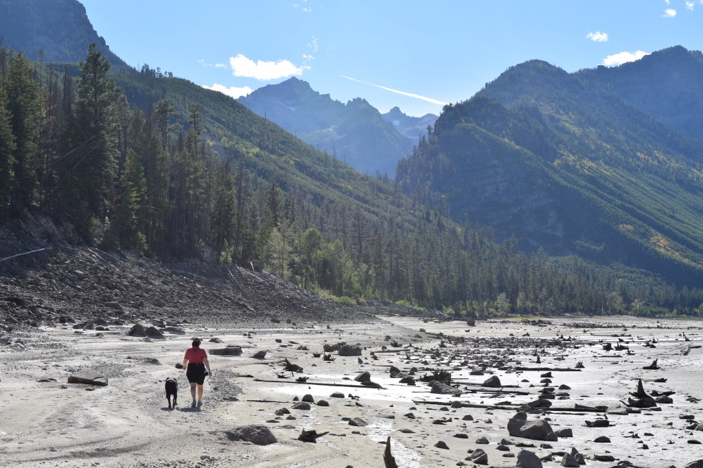
Even lakes can get too low to float. Chrissy, Murphy and I visited Lake Como in the Bitterroot Valley one October. Because it’s a reservoir (like most of MT’s “lakes”) and it was so late in the season, the lake was basically dry. We were glad we didn’t have our boards with us as we couldn’t have paddled anyway, even though the weather was perfect.
It’s pretty easy to just Google “‘Blank’ River Flow” and get to the USGS site that displays river flows, gauge height, and water temps. Just be sure you’re selecting the correct location…most rivers in MT have multiple gauging stations and flows can be pretty different depending on which station you’re checking.
The National Weather Service also provides river flow forecast info, so you can even get a peek into the future. This can be helpful when planning a trip in the near future or when trying to discern if a wave or other feature is going to fire up during the weekend or later in the week.
The following graphs provide real time river flow rates (CFS) for MT rivers. They update hourly. Click on the river name to access the USGS site with more info.
Clark Fork River Above Missoula
Bitterroot River at Bell Crossing (near Victor)
Bitterroot River near Missoula
Big Hole River at Maiden Rock (near Divide, MT)
Jefferson River near Three Forks
Jefferson River near Twin Bridges
Madison River near McAllister (below Ennis Lake)
Gallatin River near Gallatin Gateway
Flathead River – Main Stem at Columbia Falls (above Flathead Lake)
Flathead River – Main Stem at Polson (below Flathead Lake)
North Fork Flathead River near Columbia Falls
Middle Fork Flathead River near West Glacier
South Fork Flathead River above Twin Creek (near Hungry Horse)
South Fork River Flathead near Columbia Falls
Yellowstone River at Corwin Springs
Yellowstone River at Livingston
